our partners




Get updates on mail
address
270 Angas St,
Adelaide SA 5000
Copyright © 2026 Bicycle SA. All Rights Reserved.
270 Angas St,
Adelaide SA 5000
Copyright © 2026 Bicycle SA. All Rights Reserved.
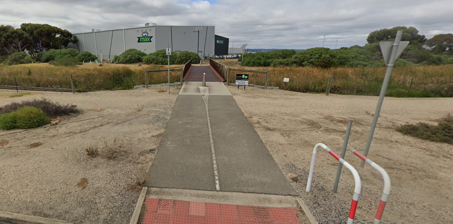
Route Summary
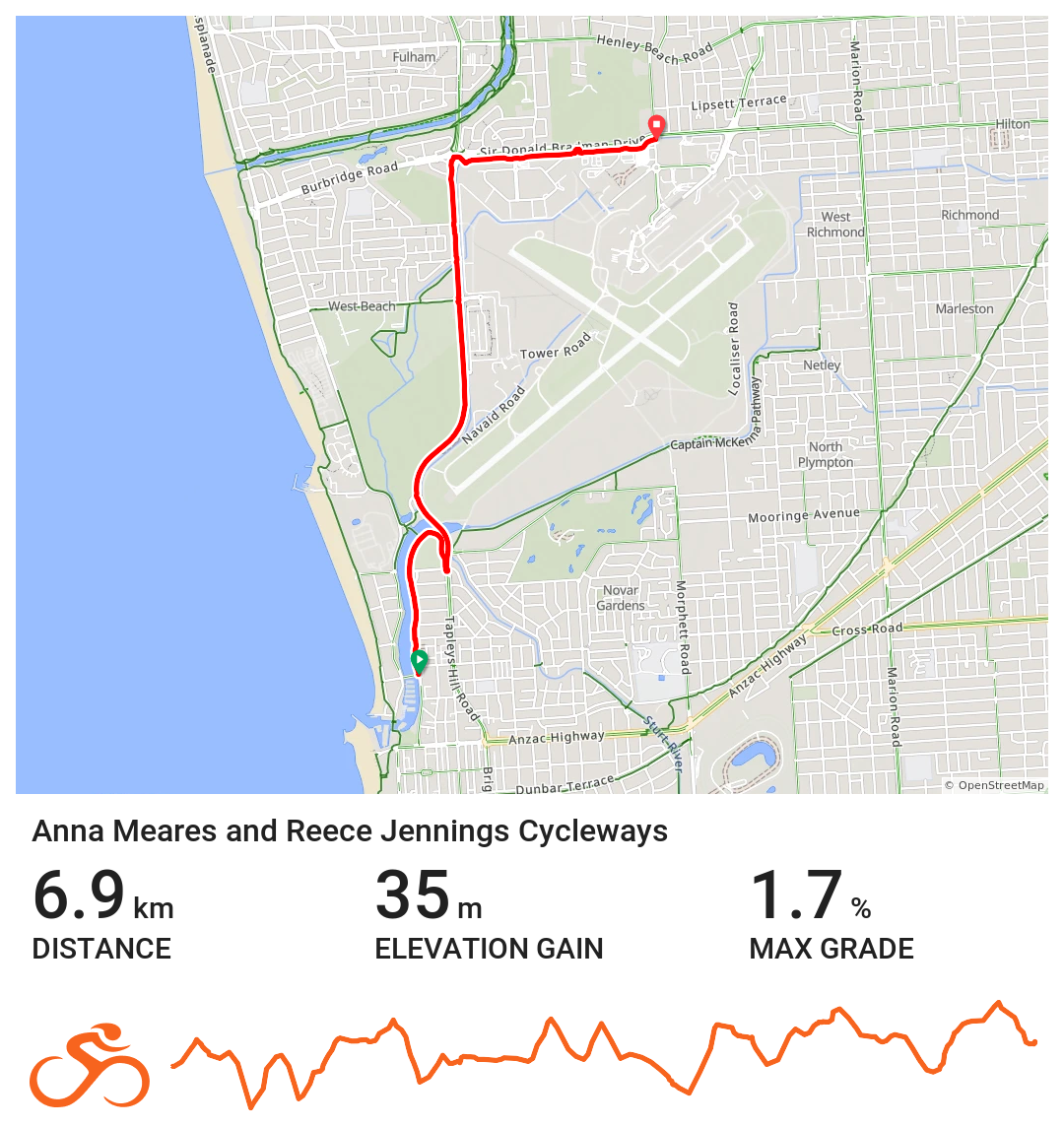
Distance: Approximately 6.9 km (one way)
Start Point: Adelaide Airport precinct
End Point: Glenelg North
Trail Type: Metropolitan shared‑use cycling path
Surface: Fully sealed, shared‑use path
Terrain: Flat with gentle gradients
Introduction
The Anna Meares Bike Path is one of the most popular metropolitan cycling trails in South Australia, offering both a safe and scenic corridor for riders of all ages and abilities. Stretching from the Adelaide Airport precinct to the Western Suburbs, the trail links up with the Reece Jennings Bikeway as well as the broader Adelaide cycling network, creating a versatile route for commuting, recreational cycling, and social rides. The trail is well surfaced, mostly sealed, and provides frequent access points, making it ideal for families, beginner cyclists, and experienced riders alike.
Named in honour of Australian cycling champion Anna Meares, the pathway celebrates her legacy as well as having a focus on safe, inclusive, and enjoyable cycling in South Australia. It is a key part of Adelaide’s urban bike network and commuter cycling routes, connecting communities while encouraging active lifestyles.
History
The Anna Meares Bike Path follows a former transport corridor connecting the Adelaide Airport area to the Western Suburbs. After the original industrial and freight use of the corridor ceased, the City of Adelaide and surrounding councils transformed it into a modern, share-use cycling path for all cyclists in South Australia to use.
The development of the trail reflects a broader commitment to building accessible urban cycling infrastructure in Adelaide, improving the suburb connections, and pushing the future of everyday bike commuting and recreational cycling in South Australia. Over time, upgrades including signage, trailheads, and lighting have made the path safer and more inviting for riders of all abilities.
Significance
The Anna Meares Bike Path is a key piece of Adelaide’s metropolitan cycling network. Its wide, flat, and mostly sealed surface provides safe and convenient cycling for beginners, families, and more confident riders alike.
It connects major western suburbs, recreational reserves, and green spaces while offering opportunities to link with longer Adelaide cycling trails such as the Reece Jennings Bikeway. By providing a traffic-free corridor for commuter and recreational cycling, the trail strengthens cycling culture in Adelaide and encourages active lifestyles in metropolitan South Australia.
For visitors, it provides a clear, scenic route through the western suburbs, offering both short rides and extended excursions as part of Adelaide’s urban cycling experience. This trail is a highlight of family-friendly and commuter cycling in Adelaide, and a popular option for those exploring metropolitan cycling trails in South Australia.
Explore the trail in three sections
Southern Section
Adelaide Airport to West Beach
The southern section begins near the Adelaide Airport precinct, providing easy access for commuters and local riders. The path follows quiet suburban streets and dedicated bike lanes, connecting to the Anna Meares Bikeway as it moves toward West Beach.
This stretch offers a mostly flat, sealed surface ideal for commuter cycling in Adelaide, family rides, and casual social rides. Riders can enjoy open parklands, wetlands, and pockets of green space along the route. West Beach provides convenient stopping points with nearby cafes, parks, and recreational facilities, making it suitable for short rides or a gentle introduction to metropolitan cycling in South Australia.
Central Section
West Beach to Grange and Seaton
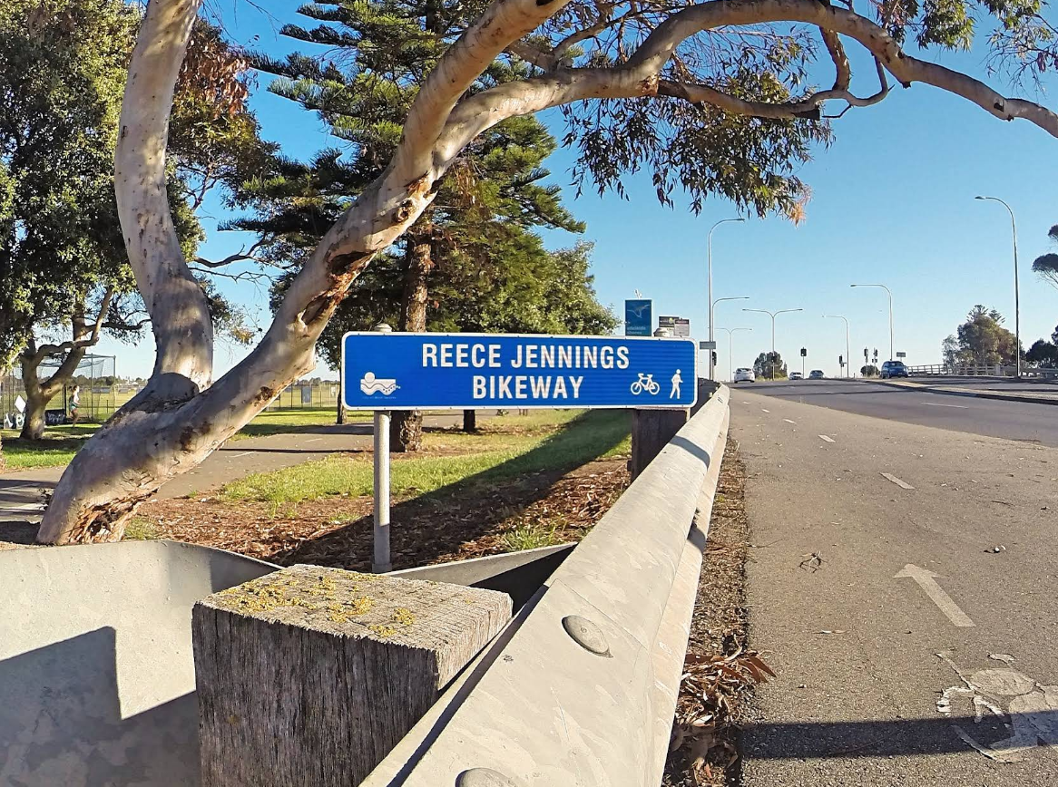
Heading north-west, the trail transitions into the Reece Jennings Bikeway, running through Grange and Seaton. This section blends dedicated bike paths with low-traffic residential streets, creating a safe, continuous ride suitable for a range of riders.
Cyclists pass alongside coastal reserves, small parks, and community spaces, making this part of the route both scenic and accessible. The mix of sealed paths and shared-use areas supports family-friendly cycling, social rides, and recreational trips across western Adelaide suburbs.
Northern Section
Seaton to Glenelg
The northern section extends from Seaton toward Glenelg, linking the bikeway to the wider Adelaide metropolitan cycling network. This stretch offers connections to local streets, coastal paths, and commuter routes, making it ideal for longer rides or as a starting point for exploring the city by bike.
Flat terrain, clear signage, and well-maintained surfaces allow riders of all levels to navigate safely while experiencing Adelaide’s urban and coastal landscapes. Glenelg marks the finish point, providing access to cafés, shops, beaches, and public transport for returning or extending rides.
Food and Accommodation
While the Anna Meares Bike Path runs through predominantly suburban areas, several cafes, pubs, and small accommodation options make it easy for riders to plan meals, coffee breaks, or overnight stays along the route.