our partners


Get updates on mail
address
270 Angas St,
Adelaide SA 5000
Copyright © 2026 Bicycle SA. All Rights Reserved.
270 Angas St,
Adelaide SA 5000
Copyright © 2026 Bicycle SA. All Rights Reserved.
Route Summary
Distance: Approximately 300 km (one way)
Start Point: Murray Bridge
End Point: Clare
Trail Type: Mixed road and shared-use cycling route
Surface: Sealed roads, light gravel tracks, and quiet rural roads
Terrain: Mostly gentle rolling hills, occasional longer climbs, varying surfaces across regions
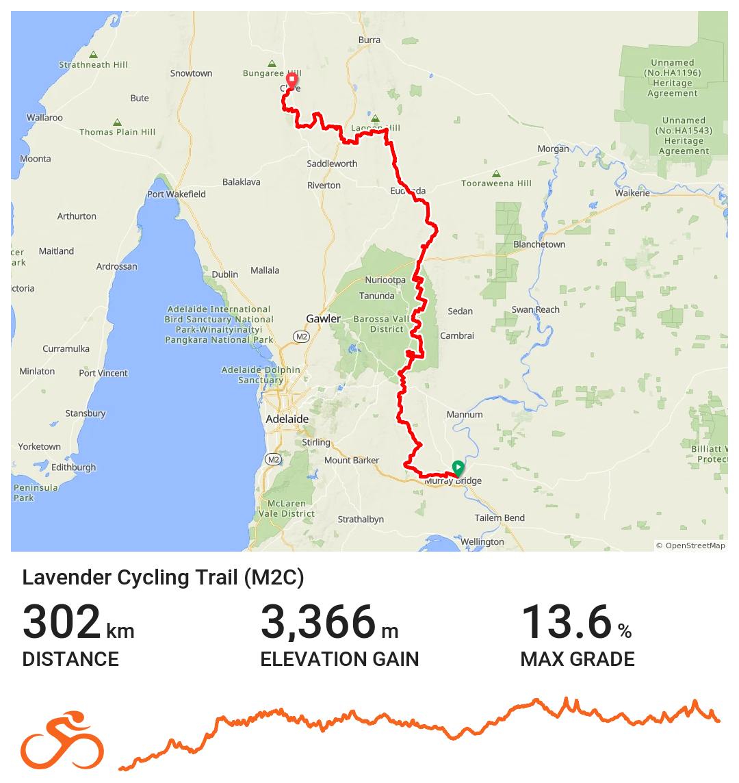
View the full Lavender Trail route here
Introduction
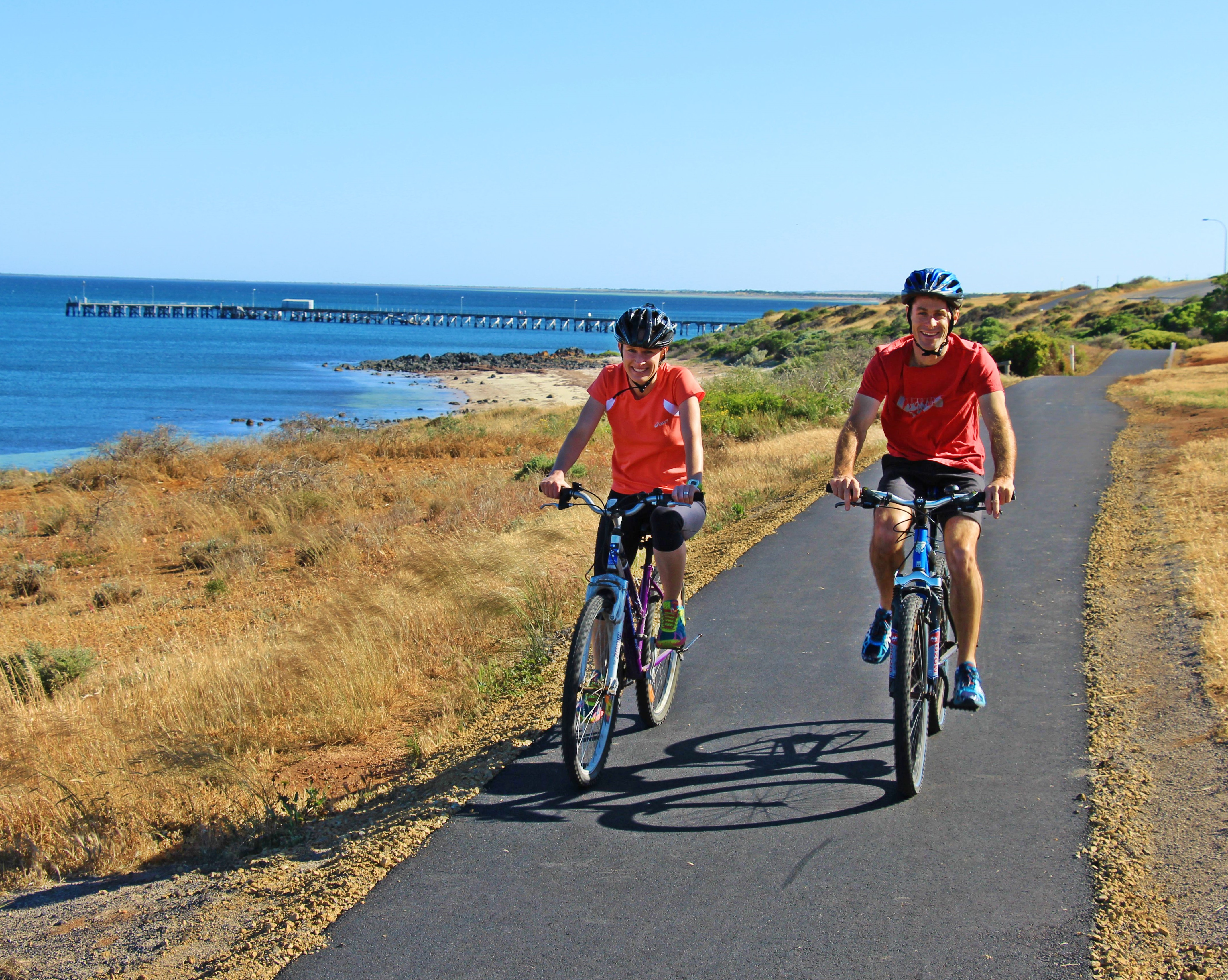
The Lavender Cycling Trail, also known as the M2C (Murray to Clare) route, is a long-distance cycling journey that links the Murray River to the Clare Valley through some of the state’s most quietly distinctive landscapes. Stretching approximately 300 kilometres, this South Australian cycling trail follows a network of both sealed and unsealed roads, shared paths and off-road tracks, all of which help showcase the regional towns, agricultural offerings and historic corridors.
The route is well suited for riders that enjoy long distance cycling in South Australia as it has scenery, space, and connection to country towns. Even though the terrain is quite manageable, occasionally there are rolling hills, longer climbs and quick road surface changes that coincide with the individual regions.
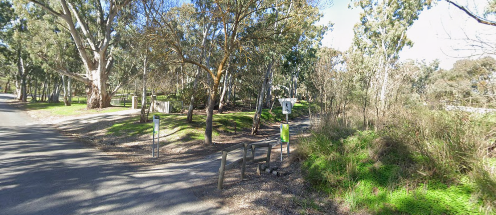
Northern Section
Clare and the Mid North
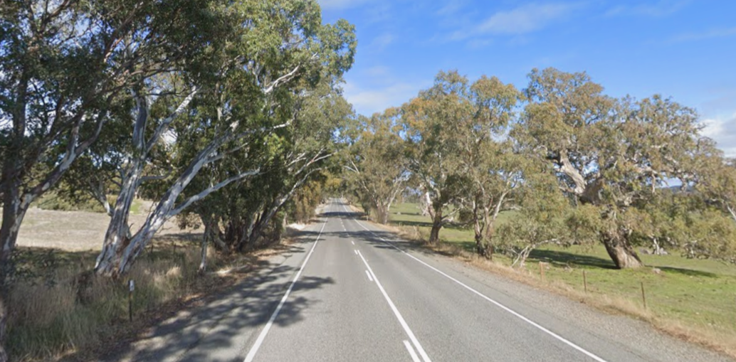
The northern end of the Lavender Cycling Trail begins in and around Clare, a region defined by vineyards, rolling hills and a strong cycling culture. This section moves through productive farmland and gently undulating terrain, often following quiet backroads that feel far removed from main highways, making it perfect for family-friendly cycling.
Riders experience classic Mid North scenery, with stone fences, open paddocks and small townships that reflect the region’s agricultural history. Elevation changes are present but generally gradual, making this section approachable while still offering a sense of journey. The combination of sealed roads and light gravel creates a relaxed touring rhythm that suits both experienced riders and those newer to long distance or regional cycling in South Australia.
Central Section
Mid North to the Barossa fringe
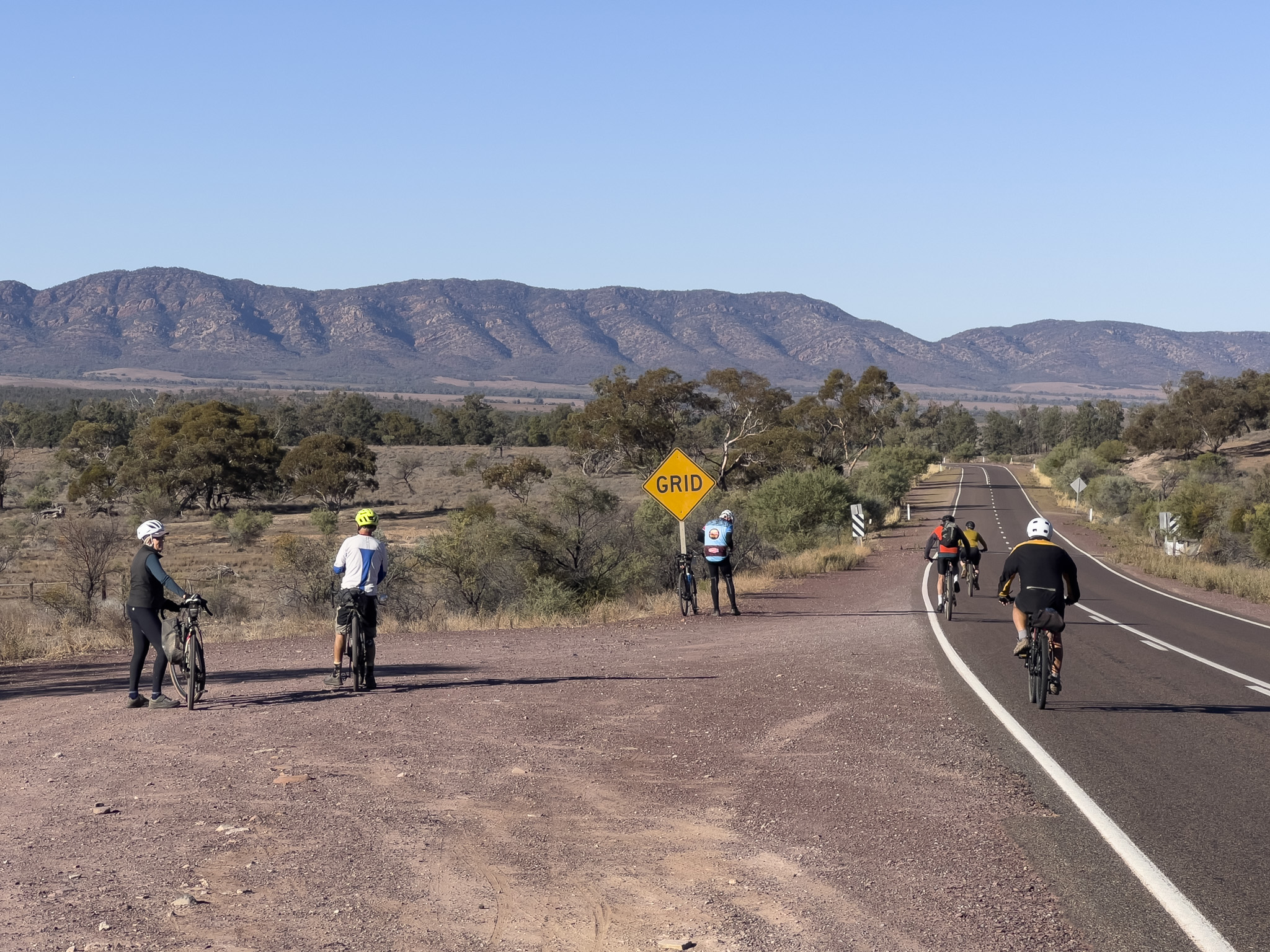
South of Clare, the trail opens out into broader farming country and smaller settlements making recreational cycling extremely enticing. Distances between towns increase and the sense of space becomes more pronounced. Roads are quiet, horizons are wide, and the riding rhythm becomes slower and more deliberate.
This part of the trail captures the heart of the Lavender Cycling Trail. It is steady, uncomplicated riding through working landscapes, where the experience comes from the environment rather than the difficulty of the route. The surfaces continue to alternate between sealed and unsealed, and the terrain rolls consistently without sustained climbs.
As the trail approaches the eastern edge of the Barossa region, the landscape begins to shift again, with more trees, historic buildings and subtle changes in elevation that signal a transition toward the south.
Southern Section
Barossa fringe to Murray Bridge
The southern section draws the journey toward the Murray River along the Lavender Trail and provides a strong sense of arrival. The route moves through mixed farming country and historic transport routes before flattening out as it approaches the river environment.
Riding here feels more open and flowing, with longer stretches of road and expansive views. The change in landscape is gradual but noticeable, and the presence of the river brings a different atmosphere to the final kilometres of the ride.
Finishing in Murray Bridge, the trail concludes at one of South Australia’s most significant waterways, offering a natural and satisfying end point to a long-distance journey.
Food and Accommodation
While the trail itself passes through remote sections where services are limited, several towns and establishments along the way offer reliable options for food, rest and overnight stays when undertaking regional cycling in South Australia. Below is a section-by-section guide to key places riders and travellers often use to plan food and accommodation.